July 3, 2023
The Vital Role of Civil Engineers and Satellite Technology in Flood Risk Management and Coral Reef Preservation
Book a Demo
In today’s world, where our environment is constantly under threat, it is crucial to have experts who can effectively manage and mitigate risks. In the field of urban flood risk management, civil engineers play a vital role in ensuring the safety and well-being of communities. Let’s take a closer look at some of the skills and expertise required for this important task.
One of the key skills required for a civil engineer in urban flood risk management is proficiency in using Geographic Information Systems (GIS) and remote sensing tools. These tools enable engineers to analyze and map flood-prone areas, providing valuable insights into potential risks. By utilizing GIS and remote sensing, engineers can identify vulnerable areas and develop effective strategies to minimize flood damage.
Hydrology and hydraulics are also fundamental areas of knowledge for civil engineers working in flood risk management. Understanding the rainfall-runoff processes, flood routing, and hydraulic modeling allows engineers to conduct risk assessments. With this knowledge, they can develop effective strategies to manage and mitigate flood risks in urban areas. By employing these strategies, civil engineers can minimize the impact of floods on communities and infrastructure.
Project management skills are equally important in the field of urban flood risk management. A civil engineer must possess strong planning, organizing, and managing capabilities to oversee projects from start to finish. They need to be adept at budgeting, scheduling, and resource allocation to ensure the successful implementation of flood risk management initiatives. With effective project management, civil engineers can efficiently utilize available resources and deliver optimal results.
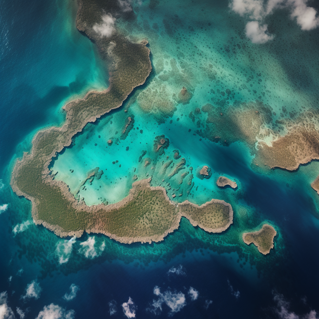
While civil engineers play a crucial role in managing and mitigating flood risks in urban areas, scientists from renowned organizations like NASA contribute to the preservation of fragile ecosystems such as coral reefs. By utilizing satellite technology, these scientists can monitor the health and resilience of coral reefs in places like Belize.
Satellites provide invaluable data that scientists use to assess the health of coral reefs. By analyzing satellite data, scientists can identify and track coral bleaching events, which can be detrimental to the reefs. This information aids in conservation efforts, allowing scientists to take necessary measures to protect these vital ecosystems.
Satellite data is also utilized to monitor the temperature and color of the water surrounding coral reefs. This data provides valuable insights into the condition of the reefs, aiding in their monitoring and conservation. By understanding the changes in water temperature and color, scientists can identify potential stressors and take early preventive actions to protect the reefs.
The monitoring system enabled by satellite data allows for early detection of coral reef stressors, which is crucial for preventing further damage and aiding in conservation efforts. By promptly identifying and addressing stressors, scientists can minimize the impact on coral reefs and protect these delicate ecosystems.
Through the utilization of satellite data, scientists can continually monitor and assess the health of coral reefs in Belize. This knowledge contributes to the understanding and preservation of these fragile ecosystems. By actively monitoring and protecting coral reefs, scientists aim to ensure their long-term survival.
Civil engineers with expertise in urban flood risk management play a crucial role in safeguarding communities from the devastating effects of floods. Their skills in GIS, remote sensing, hydrology, and project management enable them to effectively manage and mitigate flood risks. Simultaneously, scientists utilizing satellite technology contribute to the preservation of coral reefs by monitoring their health and resilience. The use of satellite data aids in identifying stressors, tracking bleaching events, and assessing the overall condition of coral reefs. By combining the efforts of civil engineers and scientists, we can work towards a safer and more sustainable future for our communities and ecosystems.


