September 26, 2017
PIX4D – Machine learning meets photogrammetry – sUAS News – The Business of Drones
Book a Demo
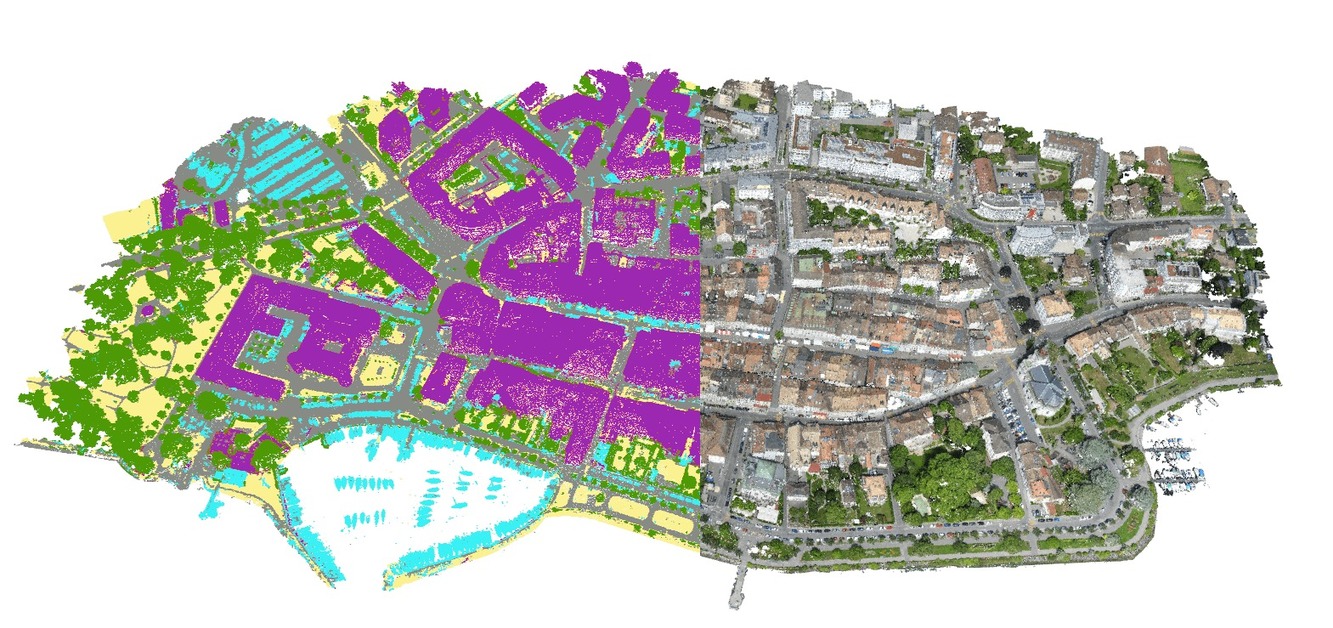
Machine-learning point cloud classification With Pix4Dmapper 4.0 you get machine-learning tools for photogrammetry applications in your hands. It allows you to classify 3D point clouds into categories like buildings, roads or vegetation. And this is just the beginning of Pix4D’s latest journey. We believe in the ability of photogrammetry and machine learning techniques to revolutionize …
Sourced through Scoop.it from: www.suasnews.com


